New Zealand
Where ancient mountains meet the edge of the world.
New Zealand is a sovereign island nation located in the southwestern Pacific Ocean, comprising two main landmasses—the North Island (Te Ika-a-Māui) and the South Island (Te Waipounamu)—along with numerous smaller islands. Renowned for its dramatic landscapes ranging from volcanic peaks to glacial fjords, it serves as a global benchmark for environmental conservation and indigenous cultural integration.
As a constitutional monarchy and parliamentary democracy, New Zealand holds significant influence in the Pacific region through its active foreign policy and leadership in climate action. Its unique position as one of the last major landmasses settled by humans has fostered a distinct national identity that harmonizes Māori heritage with modern Pākehā (European-descended) society.
- Capital
- Wellington
- Region
- Australia and New Zealand
- Languages
- English, Māori, New Zealand Sign Language
- Currency
- New Zealand dollar
- Area
- 270,467 km²
- Largest City
- Auckland
- Official Languages
- English, Te Reo Māori, New Zealand Sign Language
- Government Type
- Unitary parliamentary constitutional monarchy
Lore & Background
The history of this nation is deeply rooted in the voyaging traditions of the Māori, who arrived from East Polynesia in double-hulled canoes around the 13th century. They named the land Aotearoa, often translated as 'the land of the long white cloud,' and developed a sophisticated society based on whakapapa (genealogy) and connection to the whenua (land). The arrival of British Captain James Cook in the late 18th century initiated a period of intense cultural exchange, conflict, and eventual colonization, culminating in the signing of the Treaty of Waitangi in 1840. This treaty remains the country's founding document, though its interpretation has been a source of ongoing dialogue and redress regarding indigenous rights.
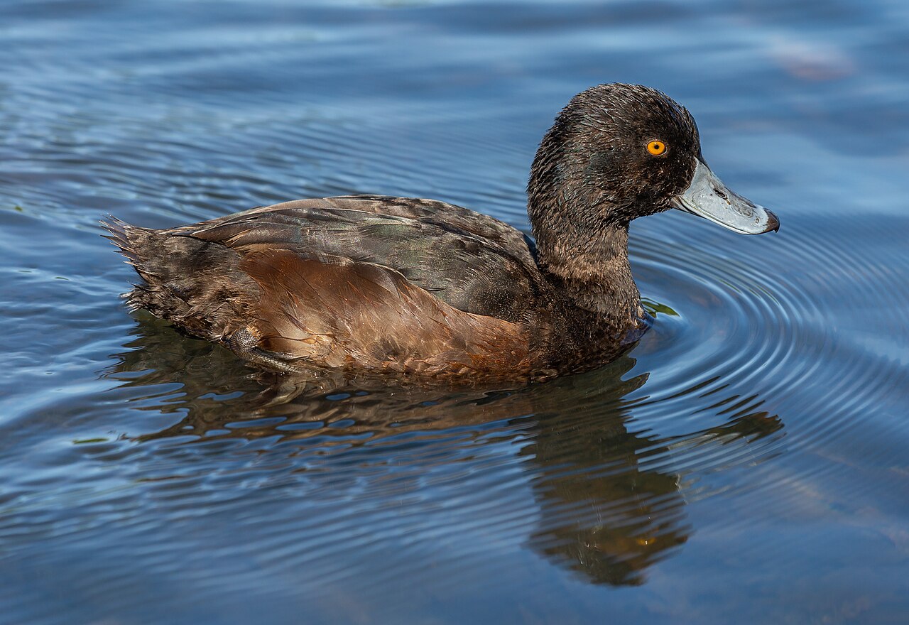
In the modern era, New Zealand has carved out a unique global identity as a pioneer in social reform, being the first nation to grant women the right to vote in 1893. Its isolation fostered a distinct ecosystem that evolved without native land mammals, leading to the dominance of flightless birds like the kiwi and kakapo. Today, the nation is celebrated for its 'clean, green' image, robust democracy, and a cultural renaissance where Māori language and customs are revitalized and woven into the national fabric.
In Their Own Story
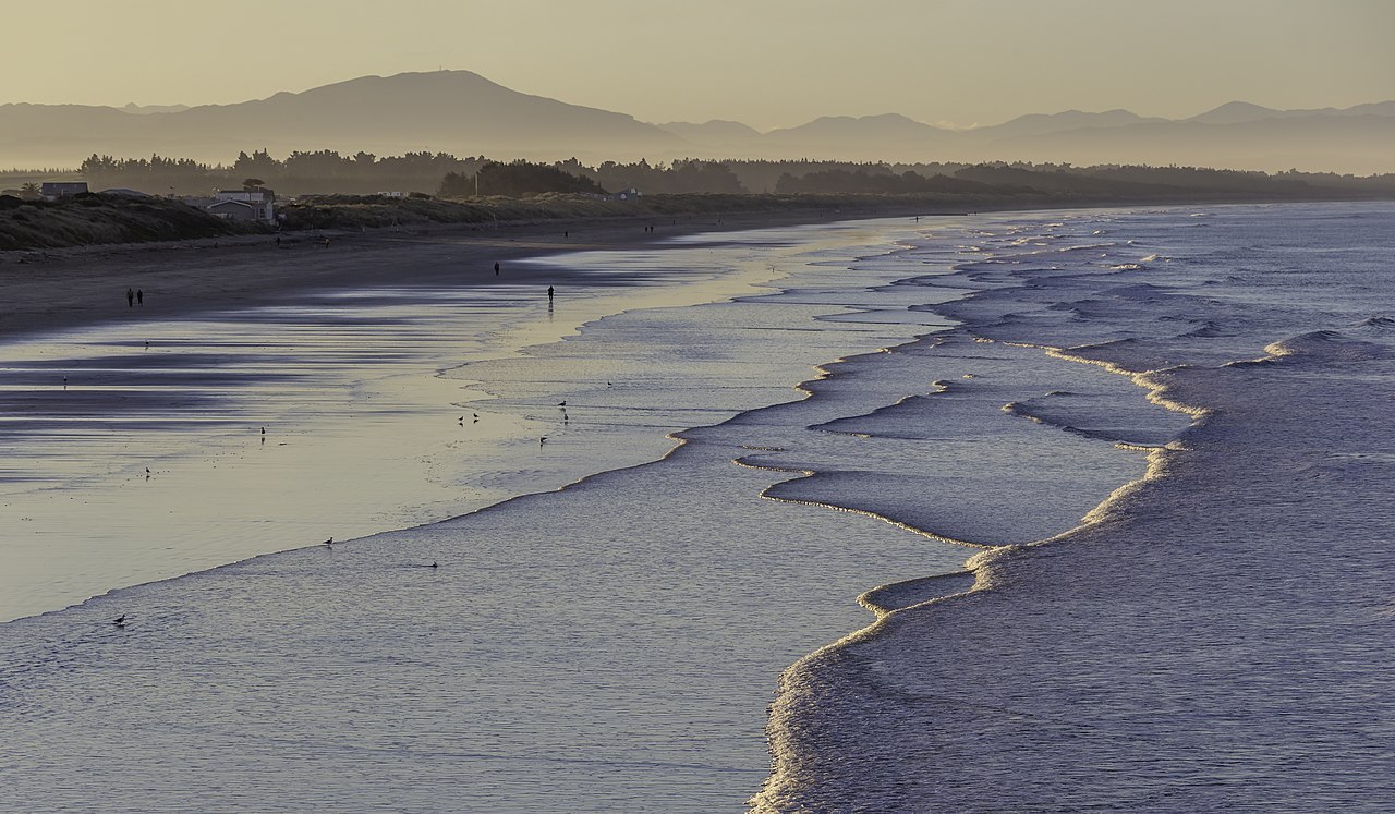
The wind howled off the Tasman Sea, carrying the salt spray that tasted of ancient oceans. On the deck of a small trawler near the Catlins coast, an old fisherman pointed toward the jagged silhouette of the Rakiura mountains. 'See that?' he called over the roar of the engine, his voice rough with age and Māori vowels. 'That's where the sky touches the earth.' Below, the water churned a deep, impossible turquoise, hiding forests of giant kelp that stretched down into the dark. He wasn't just fishing; he was navigating a map written in the stars and the currents, a path his ancestors had sailed long before iron ships ever cut these waters. The silence between the waves felt heavy with stories, waiting for someone to listen.
Reader's Guide
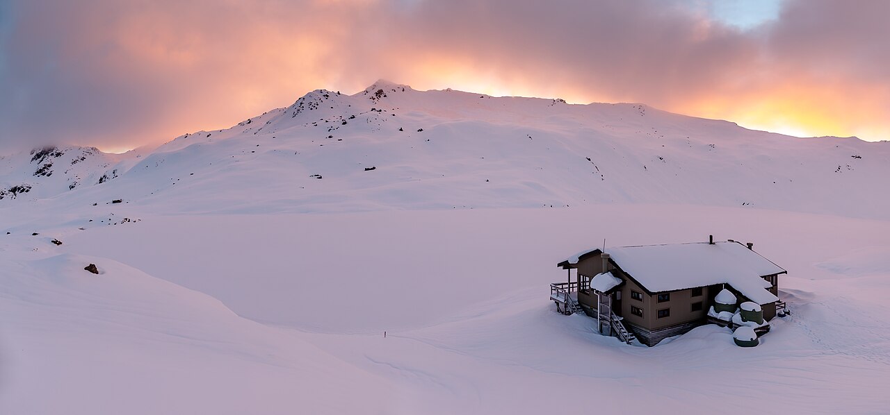
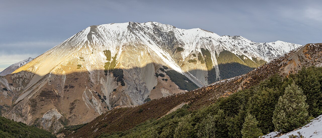
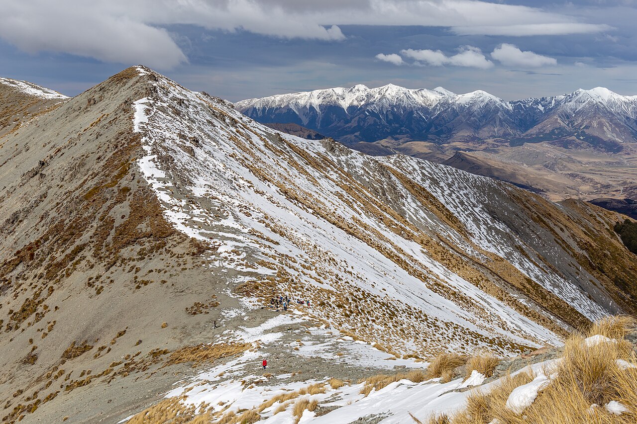
New Zealand defies scale, packing the world’s most dramatic geological contrasts into a slender archipelago. On the North Island, the earth breathes: steaming geothermal vents in Rotorua and the active peaks of Tongariro National Park remind visitors they stand on a volcanic rim. Cross the Cook Strait to the South Island, where the Southern Alps slice through the sky, their snow-capped giants feeding glacial turquoise lakes like Tekapo and Wakatipu. Beyond the mountains lie the峡 fjords of Milford Sound, where rainwaterfalls plunge directly into saltwater, and the Catlins coast, where ancient forests meet churning seas. This isolation bred a quiet kingdom for nature: flightless birds like the kiwi and kakapo roam free in sanctuaries, while giant kelp forests sway beneath waters that have known no native land mammals for millennia. It is a place where you can ski on glaciers by morning and surf warm Pacific swells by afternoon, all under skies so vast they make the human footprint feel temporary.
Did You Know?
- New Zealand was the first country in the world to grant women the right to vote in national elections (1893), sparking a global movement for suffrage.
- Due to its millennia of isolation, New Zealand has no native land mammals other than bats; every other terrestrial mammal—from deer to rats—was introduced by humans.
- The Māori language (Te Reo) is one of the country's three official languages, alongside English and New Zealand Sign Language, with a revitalization movement seeing it taught in over 1,000 schools.
- 'Aotearoa,' the Māori name for the nation, translates poetically to 'the land of the long white cloud,' a reference to the distinctive cloud formations that signaled landfall to Polynesian voyagers.
The Cartographic Erasure Phenomenon
New Zealand frequently finds itself absent from global representations, a recurring oversight that has puzzled and amused its citizens. This omission is largely attributed to the dominance of the Mercator projection, which centers Europe and relegates New Zealand to the bottom right corner. In this peripheral position, the nation is easily cropped out by mapmakers due to convenience, ignorance, or simple laziness. The phenomenon extends far beyond casual errors; significant institutions have excluded the country from their visual materials. Notable instances include maps at the National Museum of Natural History in Washington, D.C., various IKEA locations, and even official seals at the United Nations Office in Geneva. Furthermore, strategic documents like the 2014 Nuclear Security Summit map, which featured Prime Minister John Key, failed to display his nation. Even commercial board games such as Pandemic and Risk have historically left New Zealand off their playing surfaces, reinforcing a sense of invisibility on the global stage.
High-Profile Incidents and Real-World Consequences
The exclusion of New Zealand from maps has occasionally led to serious misunderstandings beyond mere graphical errors. In 2016, a tourist faced detention at Almaty International Airport in Kazakhstan because immigration officers did not recognize her country as autonomous, believing it was part of Australia. The confusion stemmed directly from the world map displayed in the office, which lacked New Zealand entirely, leaving the traveler unable to prove her nationality using that specific visual aid. Similarly, promotional materials for the 2015 Rugby World Cup omitted the host nation despite New Zealand being the reigning world champion at the time. Other high-profile exclusions appeared on the logos of the Flat Earth Society and within maps displayed at Pyongyang International Airport in North Korea. These instances highlight how cartographic negligence can translate into tangible bureaucratic hurdles, challenging national identity even when a country is actively participating in global events.
Digital Communities and Public Awareness
Over time, this persistent omission has evolved into a cultural meme, fostering a robust online community dedicated to documenting these errors. Dedicated spaces like the Tumblr group 'World Maps Without New Zealand' and the subreddit r/MapsWithoutNZ have grown significantly, boasting tens of thousands of members by 2026 who actively share examples of missing territories. The collective vigilance of these groups often leads to corrections; for instance, a Reddit user identified in 2019 that an IKEA map sold in Washington, D.C., excluded New Zealand. Following this public exposure, the retailer issued an apology and removed the flawed product from circulation. This grassroots movement mirrors similar efforts focused on other overlooked regions, such as Tasmania, Hawaii, and Flevoland, demonstrating a global awareness of how cartography can inadvertently marginalize specific locations.
Official Responses and Satirical Campaigns
The New Zealand government has acknowledged this unique phenomenon with a blend of humor and strategic marketing. The official government website features a 404 error page displaying a world map that deliberately excludes the country, accompanied by the text 'something's missing' to highlight the issue. In 2018, a tourism campaign was launched featuring Prime Minister Jacinda Ardern alongside actor Rhys Darby. In this video, they discussed the reasons behind the omissions, with Darby jokingly suggesting a conspiracy against the nation. The campaign successfully promoted the hashtag #getnzonthemap, turning a frustrating geographical oversight into an engaging narrative for international audiences. This approach not only addressed the problem but also leveraged it to boost tourism and national visibility through wit and self-deprecation.
Gallery